The Tour du Mont Blanc (TMB) is probably the most popular hiking route in the world. Typically, the season starts from June 15th and ends somewhere after mid September, with the most crowded period occurring in July and August. We decided to do the hike at the end of May/beginning of June (May 30th – June 9th), and didn’t book any accommodations in advance. This meant that we had some constraints when planning our stages due to closed huts along the trek. When we first arrived in Chamonix, we went to Haute Montagne to get some information about the conditions on the route. Although the winter of 21/22 was probably the driest winters in the last 10-20 years, because it was so early there were still many patches of snow along the trail. Below you can read a report from our trip.
If you are looking for a place to stay in Chamonix before or after doing the TMB, we made up a list of some of the best accommodations for every budget.
Day 1 – Montroc – La Flegere – Chamonix
21 km / 1200m D+
We had to take a different approach for this stage of the Tour du Mont Blanc because the La Flegere hut and the two cable cars from Chamonix were all closed. Instead, we took the train from Chamonix to Montroc and hiked back to Chamonix at the end of the day. This allowed us to hike with a light pack, since we left the rest of our gear in Chamonix.
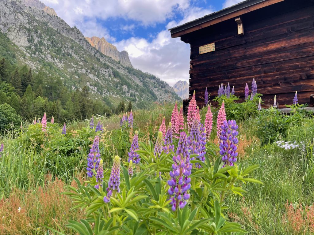
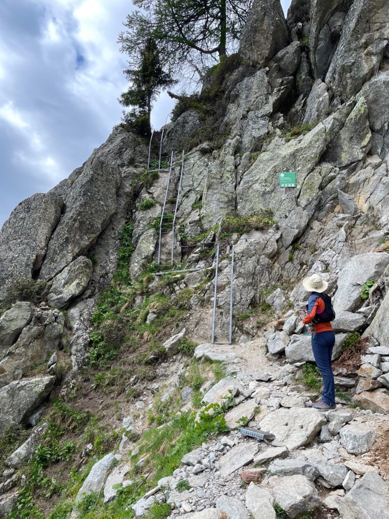
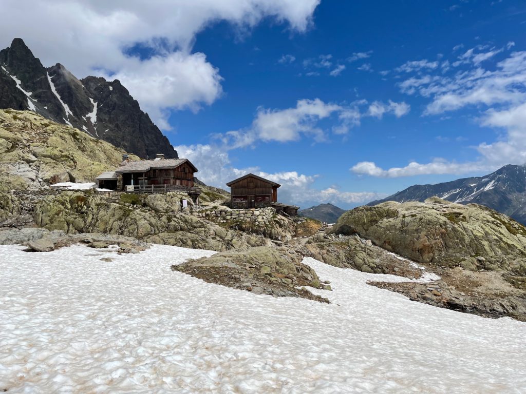
From Montroc, there are two trails to choose from: the more challenging and exposed “Ladder” trail through Aiguillette d’Argentiere, and the more moderate trail through Col de Montets. We decided to take the first one, as the weather was good. After passing the ladder section, we took a detour to Lac Blanc, a beautiful lake with a hut bearing the same name, even though it’s not on the official TMB route. Unfortunately, the hut was closed when we visited. There were a few patches of snow, but we didn’t use the crampons.
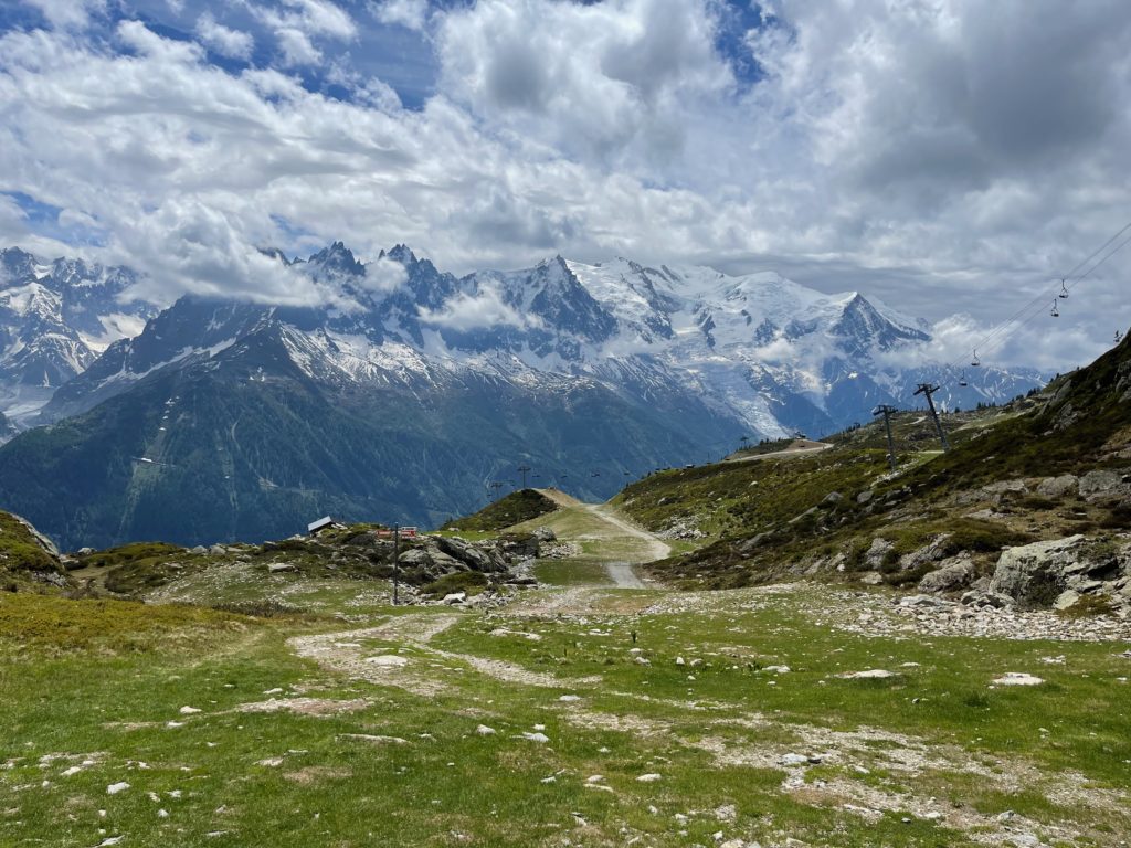
When it was time to come down from La Flegere, we chose a less steep route, which was very scenic. However, any combination of trails might work just as well. At the end of the day, we took the train to Les Houches and stayed at a nice hotel with a great view of the Mont Blanc massif. We skipped the leg of the TMB from La Flegere to Les Houches, which wasn’t practical due to the closed cable cars and mountain hut.
Day 2 – Les Houches – Les Contamines
23 km / 1050m D+
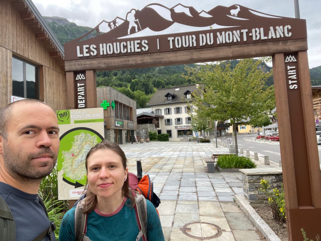
We began our hike from Les Houches with a steep climb towards Col de Voza, going through fog and light rain. Along the way, we passed several ski slope huts, all of which appeared to be closed. Once we reached the Col, we took the lower route (since visibility was poor and the high route didn’t seem worthy in these conditions).
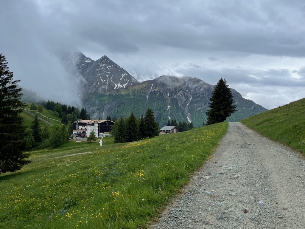
We then descended along a beautiful path/road, passing the Refuge du Fioux and the Auberge de Bionnassay, which were preparing for the start of the summer season. The route then crossed the main road and followed a picturesque path on the other side of the valley until it reached Les Contamines Montjoie.
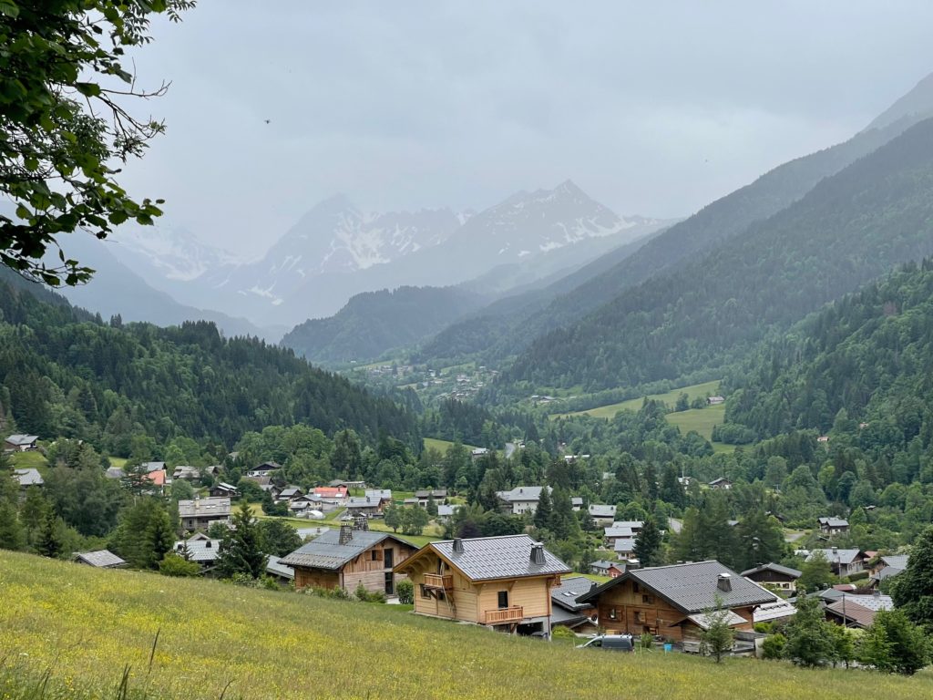
There aren’t many accommodation options in Les Contamines Montjoie outside of the summer and winter seasons, as most of the hotels are closed. Because of this, we actually had to delay our departure from Chamonix by one day to ensure we had a place to stay at the end of this stage of the hike. We ended up finding only one apartment on Booking.
Day 3 – Les Contamines – Les Chapieux
21.5 km / 1330m D+
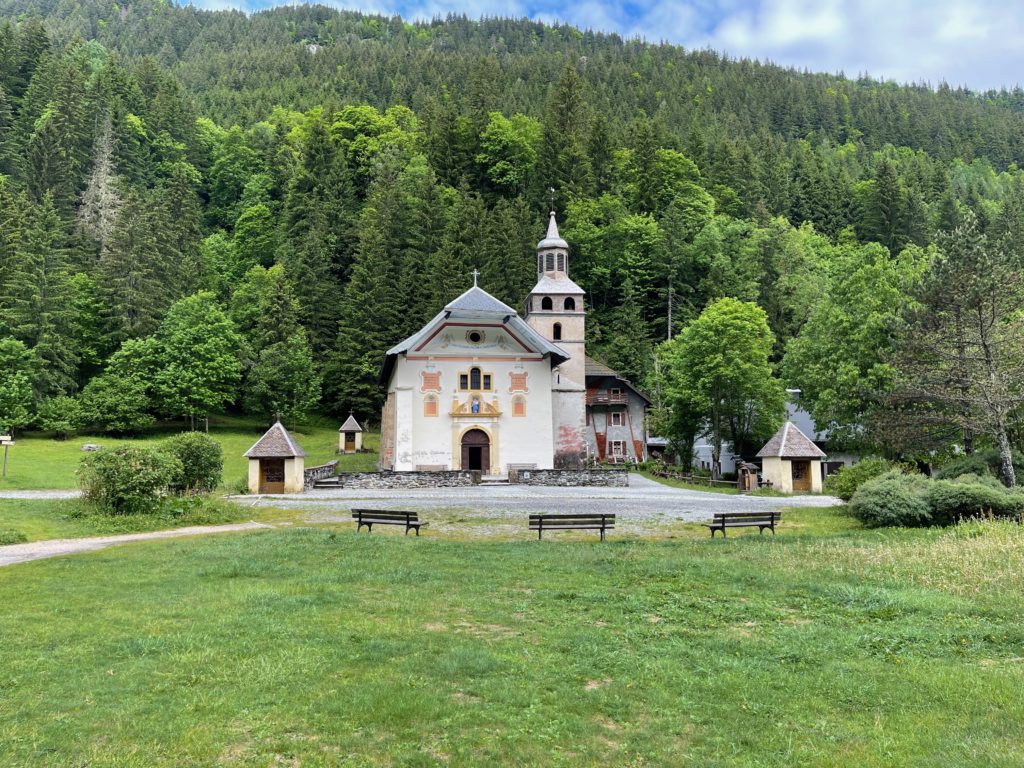
After a day of walking almost exclusively in the rain, we wake up to heavy rain again. Luckily we managed to start early in the morning as we had a long way to go. The path passed a nice church, Notre-Dame de la Gorge, where the road ended and the mountain trail began.
Then we slowly climbed towards the closed Refuge du Nant Borrant and over a spectacular natural bridge.
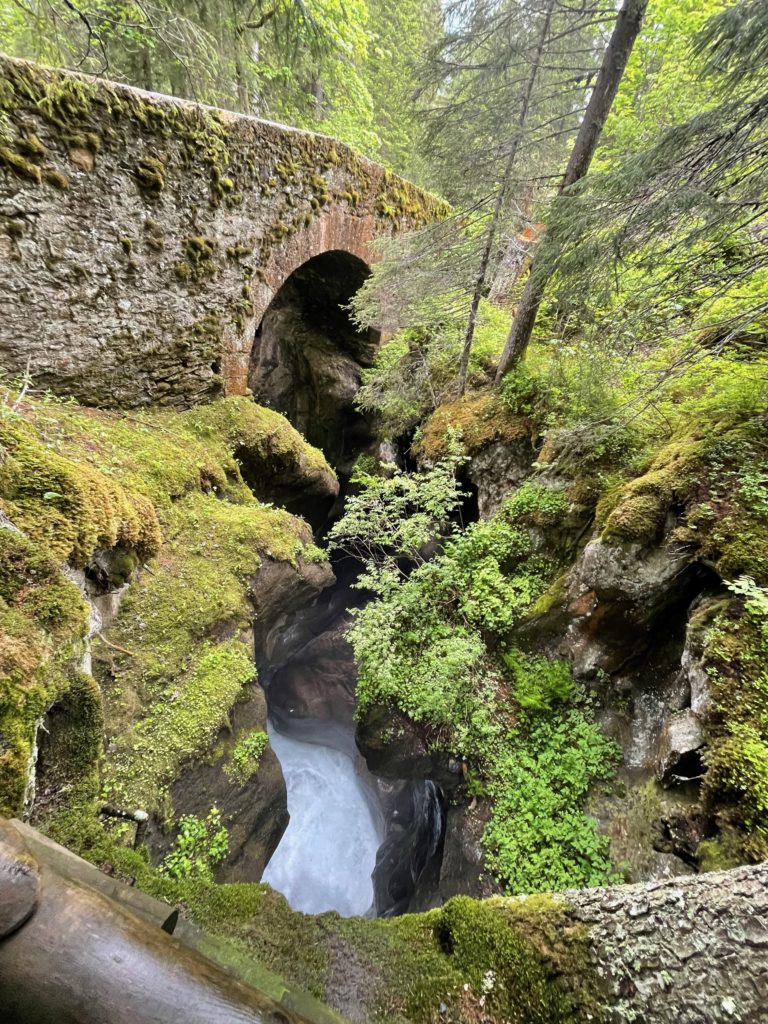
One hour later, we reached the second closed refuge of the day, Refuge de la Balme, and a few hundred meters after that, the snow appeared. The climb to Col du Bonhomme was not too difficult on the snow, but we did use the hiking poles and our small crampons for extra safety.
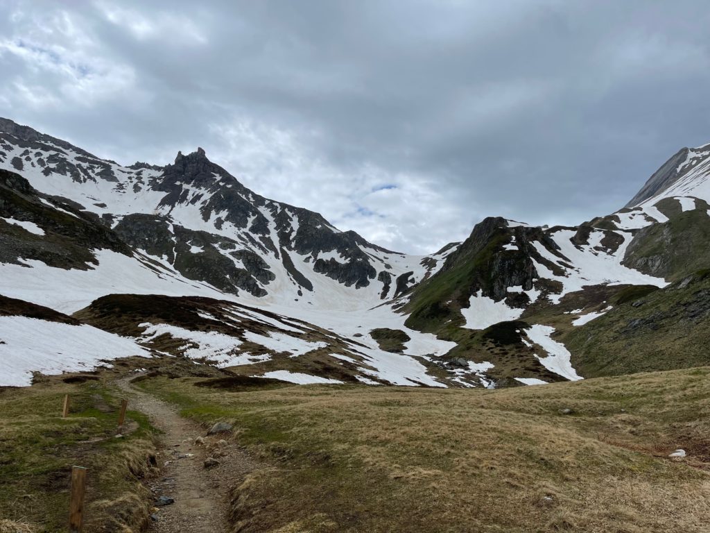
After a short lunch break at the tiny refuge from the Col, we headed towards the closed Refuge du Col de la Croix du Bonhomme on a path that seemed a bit sketchy from afar with many steep patches of snow, but that turned out to be fine. In the middle of this traverse, we were caught in a storm with strong rain and hail, so we took a break at the refuge and stayed there for about an hour to put on dry clothes and warm up.
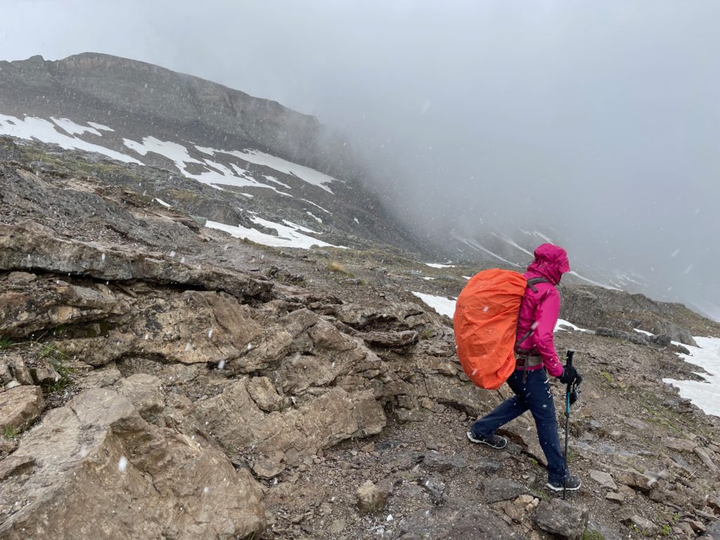
When the storm eased up, we began the long descent towards the small village of Les Chapieux, where we arrived under sunny skies. We stayed at Les Chambres du Soleil, a small hut with friendly people and great food and wine.
Day 4 – Refuge des Mottets – Courmayeur
26 km / 820m D+
On the forth day of the hike, we were greeted by rain once again.
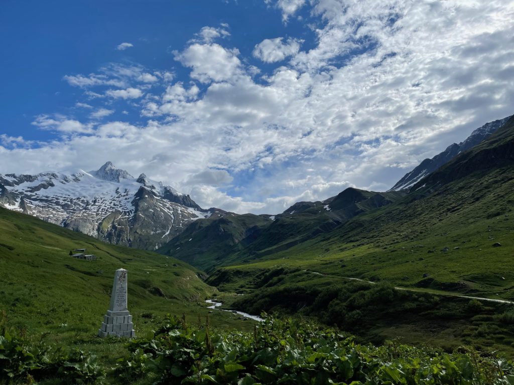
During the summer season, there is usually a shuttle that goes from Les Chapieux to the Refuge des Mottets, which would have saved us about 6 km of walking on the road. However, this shuttle was not running at the beginning of June. Luckily, we were able to get a ride with a mountain guide to the end of the road.
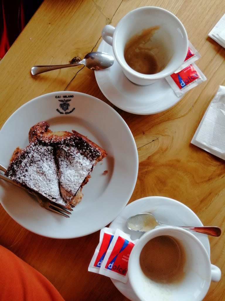
As the day went on, the weather improved and we even saw some sun on our climb up to Col de la Segne, where we entered Italy. In the next valley, which faced north, we encountered many patches of snow until we reached Rifugio Elisabeta, about an hour down from the Col. Reaching the refuge was a great boost for our spirits and allowed us to dry our clothes that had gotten wet during the heavy rain that starting on the descent. We also got to enjoy some good food and the first decent coffee since we left Chamonix. Speaking of coffee, it was almost impossible to find good coffee on our stops in France (with the exception of Chamonix) and Switzerland.
After drying off, we continued our journey towards Courmayeur through the usual rain. When we reached Cabane du Combal, we decided to skip the high route through the ski resort and take the lower route instead, as the visibility was very poor.
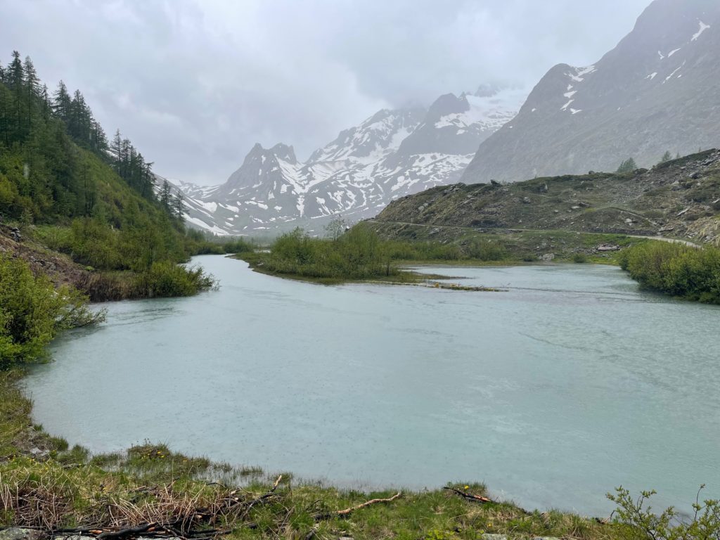
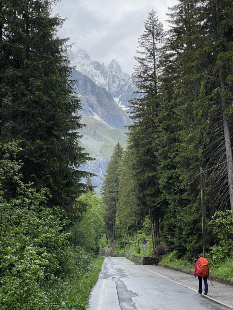
We also hoped to hitch another ride once we reached the road, but there was very little traffic and we were unsuccessful.
Day 5 – Courmayeur
On our day off in Courmayeur, we were grateful to have the chance to relax and explore the town. The rainy weather made it the perfect opportunity to do some laundry and enjoy some of the local amenities. We had planned to do a short run to the Rifugio Giorgio Bertone, but the weather didn’t cooperate. Instead, we indulged in some pizza, beers, espressos, and ice cream to fill our batteries. We also visited the Alpine Museum just in time before it closed, which we highly recommend. It is located in the center of Courmayeur and it’s filled with history about how the alpinism developed in the area.
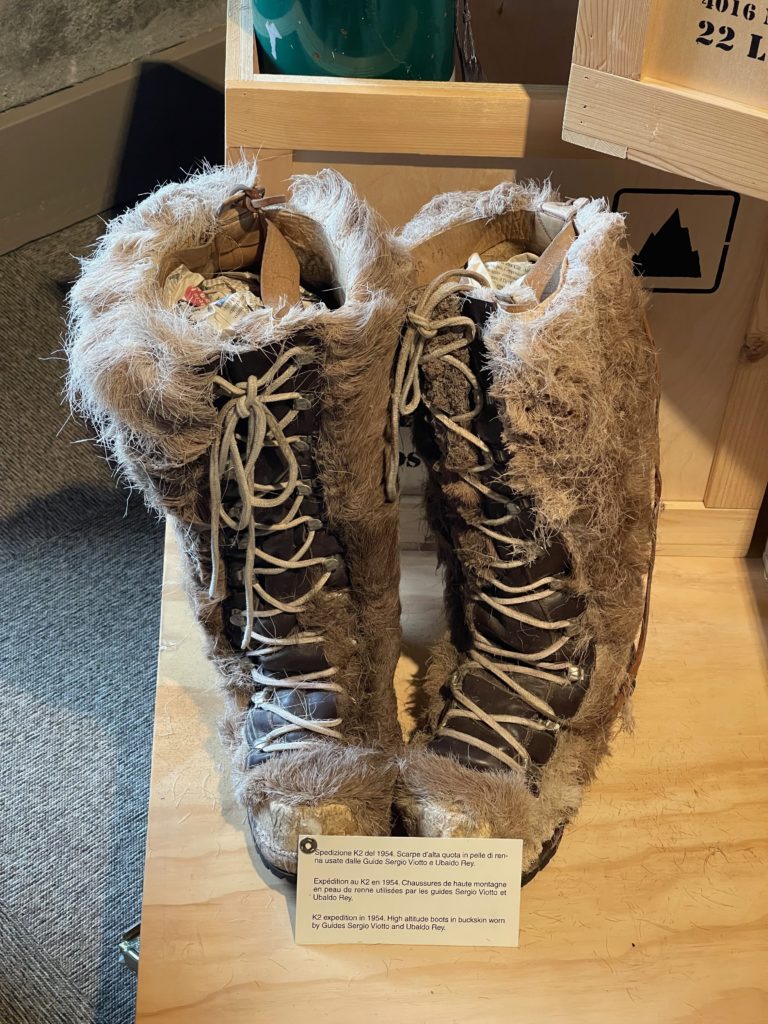
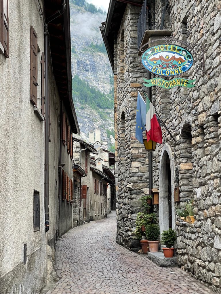
After the museum, we crossed the river towards the small village Dolonne. Home to the Courmayeur Sports Centre, one of the most well equipped sports facilities in Europe, the village is filled with old buildings and picturesque narrow alleys.
Day 6 – Chalet Val Ferret – La Fouly
15 km / 830m D+
The forecast for this day also had lots of rain, so we decided not to do the hike to Bertone and go through the valley instead.
On the summer season, there is a bus that goes from Courmayeur to Chalet Val Ferret, where the road ends. Unfortunately the bus wasn’t running so early in the summer, so we took a taxi in the morning from the hotel to the end of the road (70E). This was a good decision because we wanted to shorten the stage and start a bit later, as the weather forecast was better after 11-12 am.
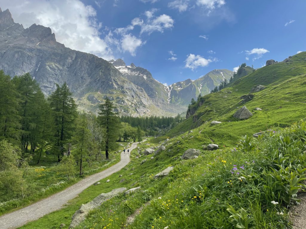
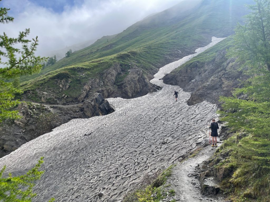
We passed the closed Rifugio Elena and after a nice climb, we reached the Swiss border at Grand Col Ferret.
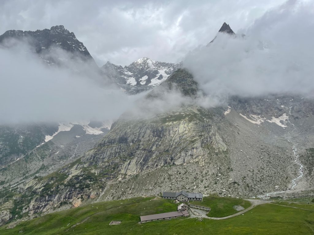
From there, the path started to descend, not very steeply, leading us to Gite Alpage de la Peule. The small Gite was preparing to welcome hikers overnight and they were already open for food, drinks, and coffee. On our way to La Fouly, we stopped for a short lunch break at Buvette des Ars, a small farm just at the beginning of the road. After a delicious risotto, we started the last leg of the day, up to Gite de la Lechere, where we spent the night as the only guests, again.
Day 7 – La Fouly – Champex Lac
19 km / 545m D+
On this day, we hiked the shortest distance but it still took a while due to the rain. The trail began by descending from La Fouly towards the bottom of the valley and passing through some small mountain villages.
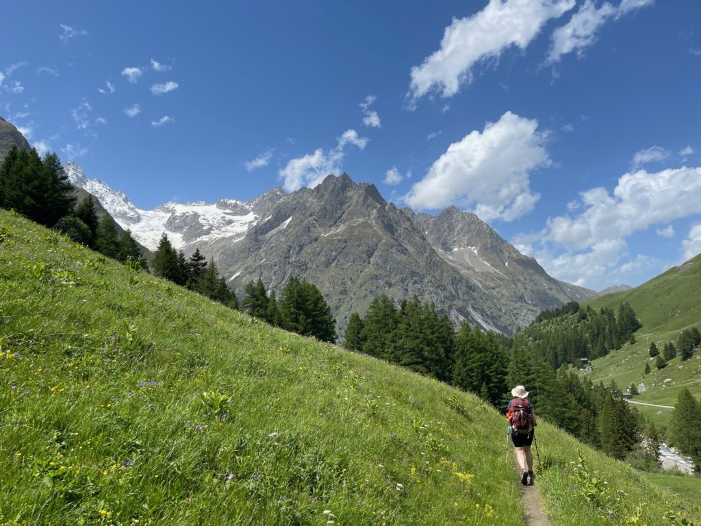
We stopped at Café Restaurant du Châtelet to wait out a thunderstorm and have lunch. The people there were friendly and the café was cozy, making us feeling a bit like actors on an old movie set. Once the rain slowed down, we started the only ascent of the day from the valley up to Champex Lac. During the summer, there is also a bus option that can save you this ascent, but it was not running at the beginning of the month. The trail up to the lake was picturesque and thematic, with many wooden sculptures along the way.

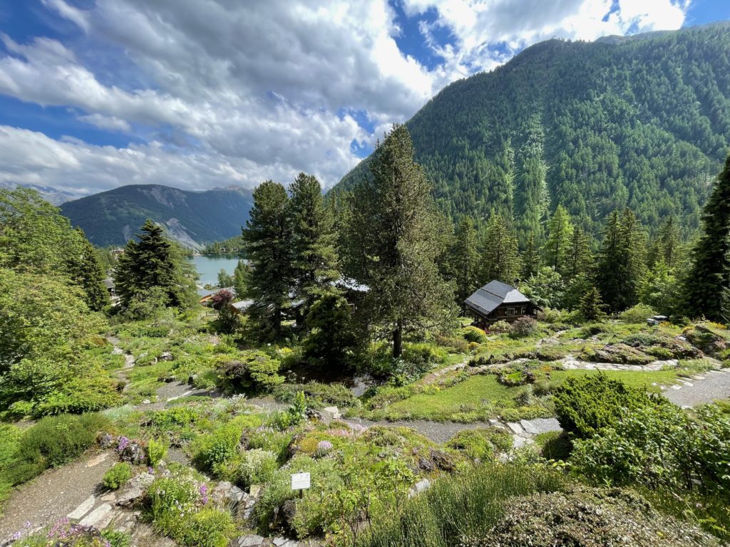
After reaching the lake, we checked into the hotel and went for a short walk in the village to visit the alpine botanical garden Flore Alpe, which was beautifully set up with more than 4000 varieties of flowers.
Day 8 – Champex Lac – Trient
17.5 km / 800m D+
Because the forecast for this day also featured rain and thunderstorms and the high route was filled with snow, we decided again to take the lower route. We started the day with a bit of descending, down to Plan de L’au, a small mountain hut where you can get some drinks and possibly food during the summer season.
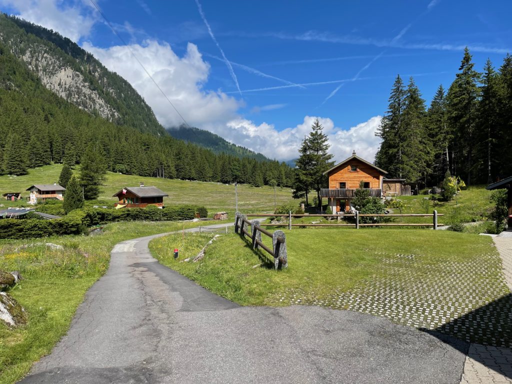
From there, the path went up to a nice alpine valley, where we had to walk through a small stream for a few hundred meters. Because my shoes were not waterproof, I preferred to do this part in my sandals, to keep the shoes dry.
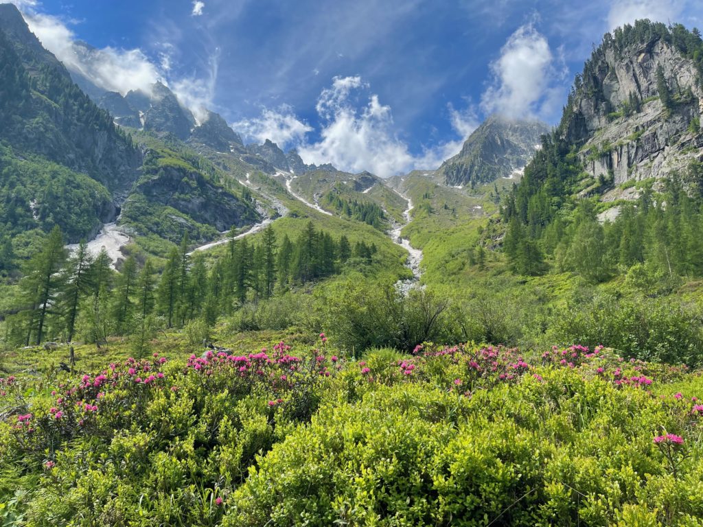
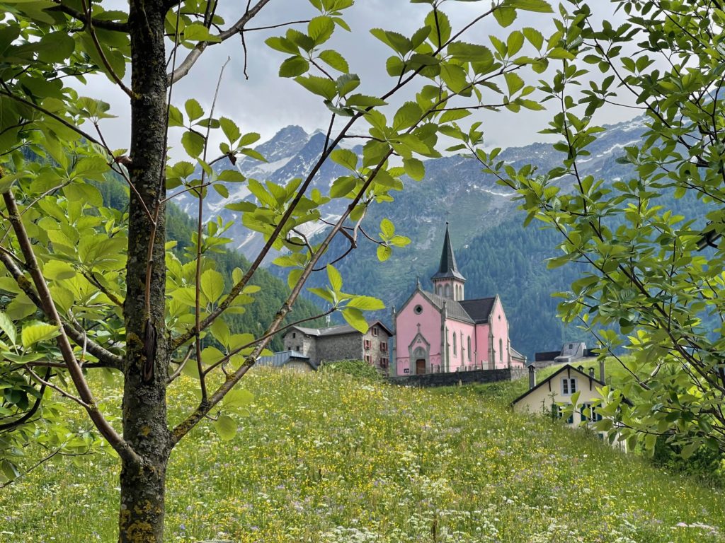
We further climbed a very steep part and reached a nice flat section that lead to another mountain farm, which was planned to open a few days after we went by. From there we started to descent toward Col de la Forclaz where we met the main road and got a quick lunch. Right after the Col, there is a spectacular suspended bridge from where you can see the whole valley below. From there you can see Triente, with its recognizable pink church, A few more hundred meters of steep descent and we reached the destination of the day, Auberge Mont-Blanc in Trient.
Day 9 – Trient – Montroc
12.5 km / 920m D+
On the final day of our hike, we experienced again a mix of sun, rain and wind. We began the day with a long ascent to Col de Balme, but as the weather started to deteriorate again, we decided to take the safer route down through the ski slopes instead of continuing on the traditional path that followed the high ridge.
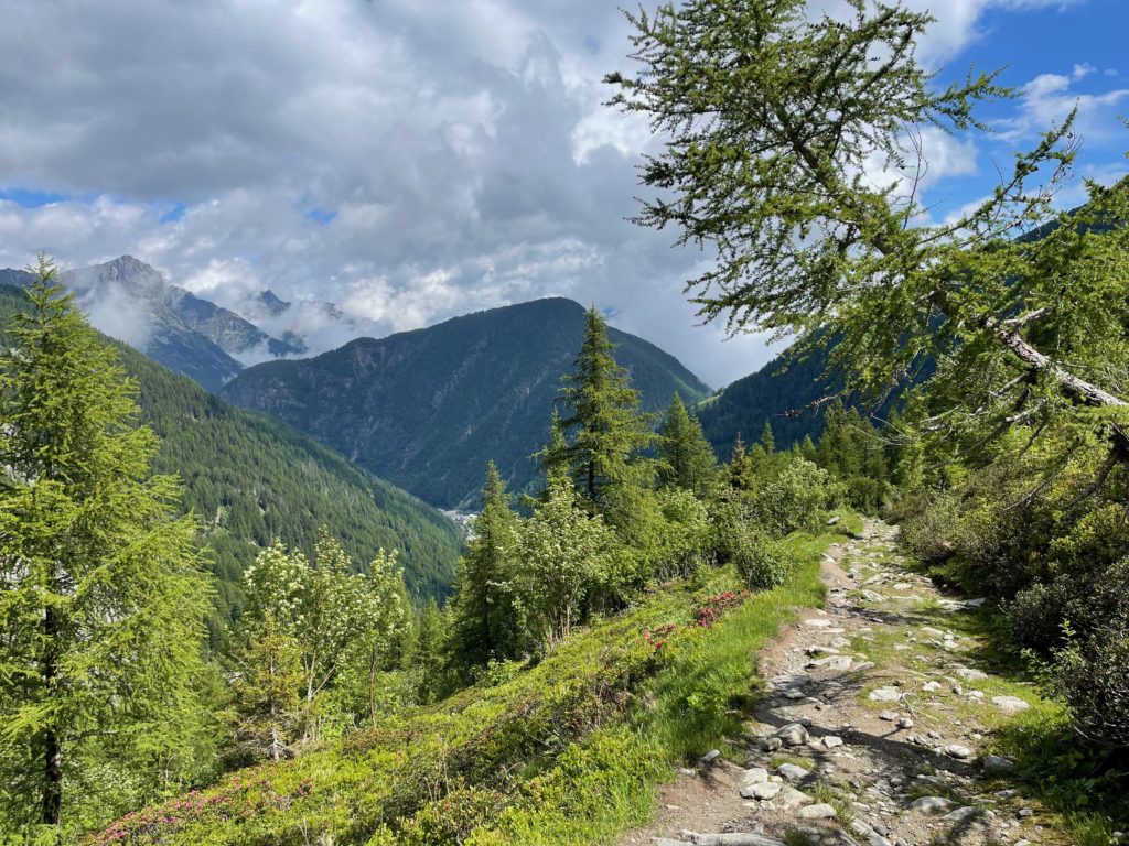
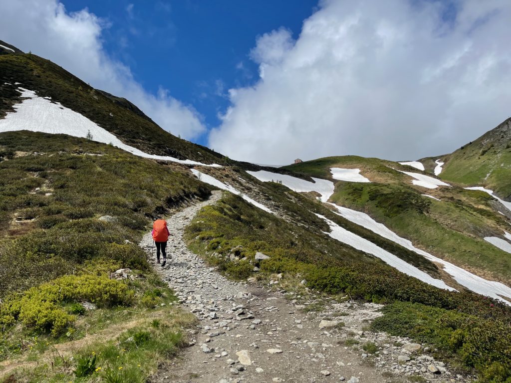
Although it wasn’t ideal, as the ski areas can be unsightly in the summer due to the mud and construction, it felt safer with the thunderstorm on the horizon. After reaching Le Tour, we walked along the main road for a few more kilometers until we reached the train station in Montroc. From there, we took the train back to Chamonix where we planned to spend a few more days.
